The Surveyors
Andrew Dury was a surveyor, engraver and map publisher who worked from St. Martin’s Lane in London. He was one of a group of Huguenot surveyors and engravers based in the Soho area who had a significant impact on English cartography and his maps are often described as being ‘in the French Style’. His co-surveyor was John Andrews, probably also part of the Huguenot community, whose premises were in Long Acre, very close to those of Dury.
Dury and Andrews also cooperated in the publication of two other county maps, those of Kent in 1769 and Wiltshire in 1773.
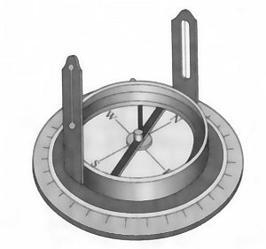
A Circumferentor