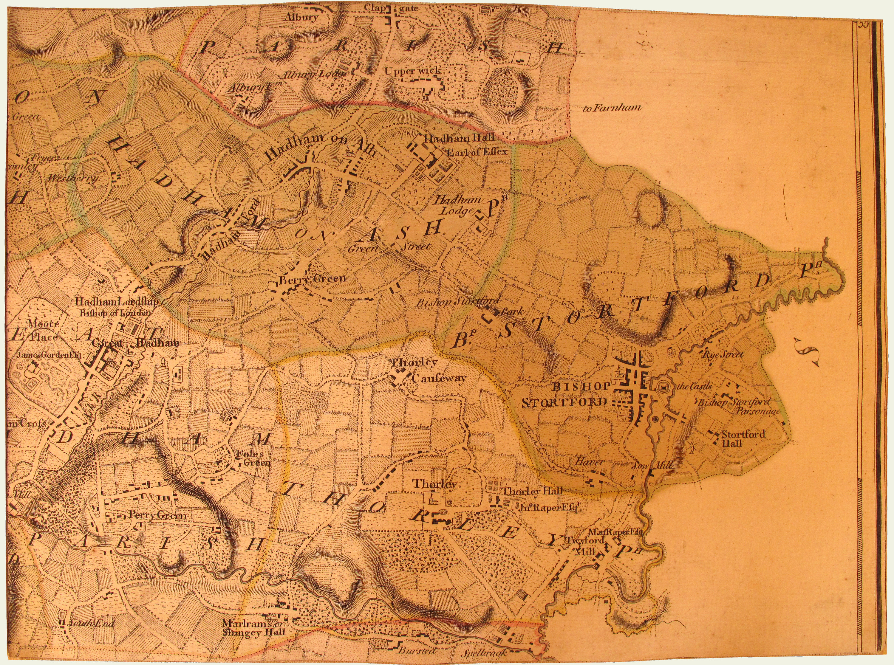
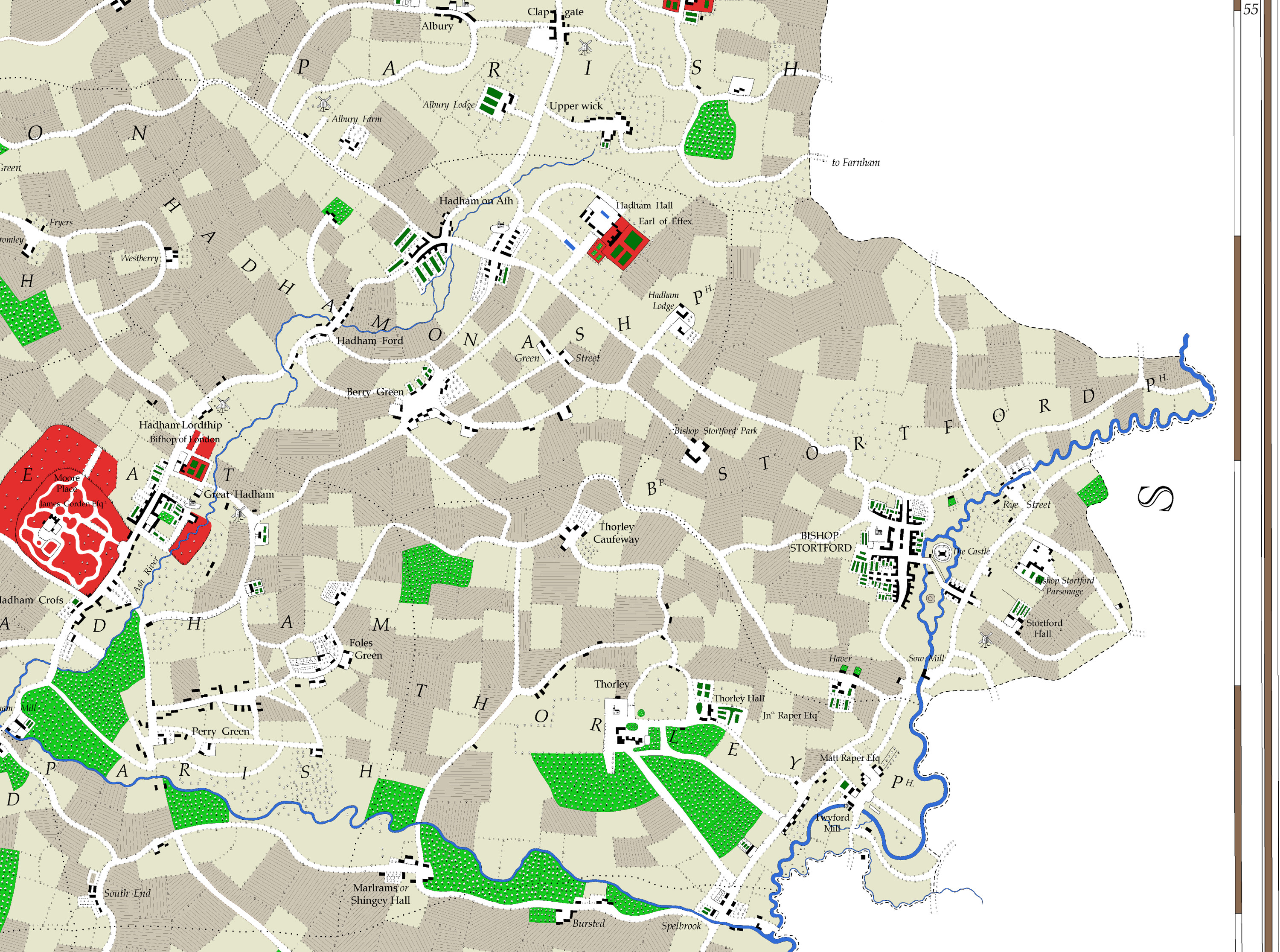
Dury Andrews 1766 Map of Hertfordshire, digitally redrawn by Andrew Macnair 2012

Andrew Dury and John Andrews: A topographical map of Hartfordshire

≡ Menu

Explore the map

OriginalRedrawn Zoom outZoom in
1 2 3 4 5 6 7 8 9 10 11 12 13 14 15 16 17 18 19 20 21 22 23 24 25 26 27 28 29 30 31 32 33 34 35 36

Key for very old browsers

Unfortunately your browser doesn’t support html5 so it isn’t possible to run the map browser. You can however view tiles side-by-side by referring to the key above and clicking the relevant numbered links. If you’d like information about upgrading your browser you may find this page helpful.

Navigate the map tiles using the key above and the sliders to zoom and transition between the original and redrawn versions. The map may be dragged within its viewport.

24
24

Due to the characteristics of the original map tiles combined with photographic and other limitations it isn’t feasible to get the original and redrawn tiles to match up perfectly on the web site but it is hoped that some value will be found in the map browser above.